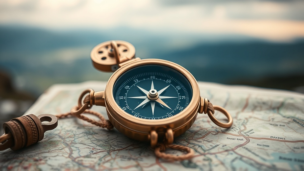
Finding Your Way with a Compass and Map

Many people think that modern GPS and smartphone apps make traditional land navigation obsolete. They assume that because a blue dot moves on a screen, they've mastered direction. This is a dangerous mistake. Electronics fail, batteries die, and signal strength disappears the moment you step into a deep ravine or a thick forest. Relying solely on a digital device isn't navigation; it's a dependency that can leave you stranded. Real navigation involves understanding your surroundings and knowing how to use a physical compass and a topographic map to find your way through any terrain.
This guide focuses on the fundamentals of orienteering—the ability to orient yourself and move through a wilderness environment using physical tools. We'll look at how to read a map, how to take a bearing, and why these skills matter more than ever in an increasingly digital world. Whether you're out for a quick hike or a multi-day trek, these are the skills that keep you on the right track.
How do I read a topographic map?
A topographic map is more than just a drawing of a trail; it's a three-dimensional representation of the earth's surface. The most important feature you'll see is the contour lines. These lines connect points of equal elevation. When you see lines that are packed tightly together, you're looking at a steep slope or a cliff. When they are spread out, the terrain is relatively flat or gentle. Understanding this helps you visualize the hills and valleys before you even arrive.
You'll also see symbols for various landmarks—rivers, forests, and rocky outcrops. It's vital to match what you see on the paper with what you see in front of you. If the map shows a bend in a creek, look for that bend. If the map shows a ridge, look for that ridge. This process, called "ground truthing," is how you confirm your position. Without it, you're just guessing based on a piece of paper.
- Contour Lines: Tight lines mean steep; wide lines mean flat.
- Elevation Points: Small numbers or dots representing specific heights.
- Scale: Tells you the ratio of map distance to actual distance on the ground.
What is a bearing and how do I take one?
A bearing is the horizontal angle between a direction and a fixed reference point (usually North). To take a bearing, you use a compass and a map. First, you identify your starting point and your destination on the map. You then rotate the compass housing so the orienting arrow aligns with the magnetic north needle. Once you've set your degree, you can follow that specific line of sight to reach your target.
It sounds simple, but there's a catch: magnetic declination. The magnetic north pole isn't the same as the geographic North Pole. Depending on where you are in the world, your compass might be off by several degrees. If you don't account for this, you'll end up somewhere you didn't intend to be. You can find local declination data through the National Park Service or similar geological agencies. Always check your local settings before you head out.
Taking a bearing isn't just for long distances. It's useful for short-distance navigation too. If you're lost in a forest and can see a prominent peak or a specific tall tree, you can take a bearing to that object to keep yourself moving in a consistent direction. This prevents the common mistake of walking in circles, which often happens when humans try to walk in straight lines without a reference point.
Can I use a compass without a map?
Technically, yes, but it's much harder. A compass tells you which way is North, but it doesn't tell you where the trail is or where the river flows. Without a map, you're essentially walking with a blindfold on, only knowing which way is North. A map provides the context—the "why" and the "where"—while the compass provides the "which way."
If you find yourself in a situation where you've lost the map, the compass becomes your most vital tool for maintaining a straight line. However, the goal is to never be in that position. Always keep your map in a waterproof sleeve and keep it accessible. You should also practice "dead reckoning," which is the process of calculating your position based on a known starting point, your speed, and your direction of travel. It's a way to estimate where you are even when you can't see your destination.
For those looking to improve their technical skills, the USGS provides excellent resources on topographic maps and geological features. Learning these basics will make your time in the woods much safer and more enjoyable.
The Importance of Practice
Don't wait until you're deep in the woods to try these skills for the first time. Go to a local park or a familiar trail and practice finding specific points using only your compass and map. Try to find a specific bend in a creek or a particular rock formation using a bearing. The more you do it, the more intuitive it becomes. Navigation is a muscle—if you don't use it, you lose it.
Remember, the goal isn't just to reach a destination. The goal is to understand the terrain so well that the destination becomes a natural consequence of your movement. When you can read the land, you aren't just a tourist; you're an explorer.